

Property Description
MAY NO LONGER BE AVAILABLE
Come check out this amazing unit in Dorchester. Call or text today to book your showing! Transportation Options
Freeport St @ Morrisey Blvd Bus Stop 0.2 mi (4 min away)
Neponset Ave @ King St Bus Stop 0.1 mi (3 min away)
Neponset Ave opp King St Bus Stop 0.1 mi (3 min away)
Neponset Ave @ Popes Hill St Bus Stop 0.0 mi (1 min away)
Neponset Ave @ S Monroe Ter Bus Stop 0.0 mi (1 min away)
Nearby Places
Adams Street Branch Library
Deadwood Cafe
Dorset Hall
Dunkin'
Venezia
Map & Nearby Areas
Neighborhood House Charter School
Charter School, Grades: PK-12
0.11mi
Murphy K-8 School
Public Elementary School, Grades: PK-8
0.15mi
Saint John Paul II Academy - Neponset
Private School, Grades: PK-8
0.17mi
St Ann Elementary
Private School, Grades: PK-8
0.17mi
Kenny Elementary School
Public Elementary School, Grades: PK-6
0.44mi
Deadwood Cafe
Burger (Fast Food)
0.26mi
Ashmont Deli
Sandwich (Fast Food)
0.37mi
Boston Fire Department Engine 20
Fire Station
0.34mi
Boston Police Department Area C South Boston Dorchester
Local Police
0.54mi
Pierce House
Museum
0.41mi
Claymont Terrace
Park
0.06mi
McMorrow Playground
State Park
0.15mi
Hemenway Playground
Municipal Park
0.22mi
Adams-King Playground
Park
0.26mi
Victory Road Park
State Park
0.38mi
William H. Garvey Playground
Municipal Park
0.39mi
Victory Road Park
State Park
0.46mi
Boston Bowl
Bowling Alley
0.24mi
Adams Street Branch Library
Library
0.45mi
Citgo
Gas Station
0.25mi
Quik Mart
Convenience
0.24mi
7-Eleven
Convenience
0.32mi
Tedeschi Food Shops
Convenience
0.37mi
Super Stop & Shop
Supermarket
0.1mi
Neponset Ave @ S Monroe Ter
0.03mi
Neponset Ave @ Popes Hill St
0.04mi
Neponset Ave @ King St
0.12mi
Neponset Ave opp King St
0.13mi
Freeport St @ Morrisey Blvd
0.17mi
248 Neponset Ave
0.22mi
Neponset Ave @ Ashmont St
0.25mi
Neponset Ave @ Victory Rd
0.26mi
Nearby Areas
Nearby Colleges & Universities
Rent Calculator & Affordability
Rent Calculator
How much do you (or your cosigner) earn each year before taxes?
Contact Agent

"*" indicates required fields
Related Properties
Apartment for Rent, Available Now at Adams Village, added Dorchester Luxury, $2,770 per month, 2 Beds, 1 Bath, , Heat & HW Included, 1 Dishwasher, , , Air Conditioning, Flexible Move-In Date
Skip to Next Listing

Apartment for Rent, Available Now at Adams Village, added Dorchester Luxury, $2,675 per month, 2 Beds, 1 Bath, , Heat & HW Included, 1 Dishwasher, Pet Friendly, , Air Conditioning, Flexible Move-In Date
Skip to Next Listing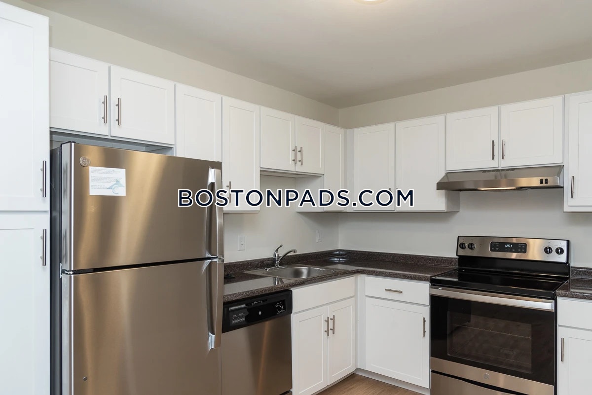
Apartment for Rent, Available Now at Peninsula Apartments, added Dorchester Luxury, $3,132 per month, 2 Beds, 2 Baths, , Heat & HW Included, 1 Dishwasher, Cat Friendly, Laundry, Air Conditioning, Flexible Move-In Date
Skip to Next Listing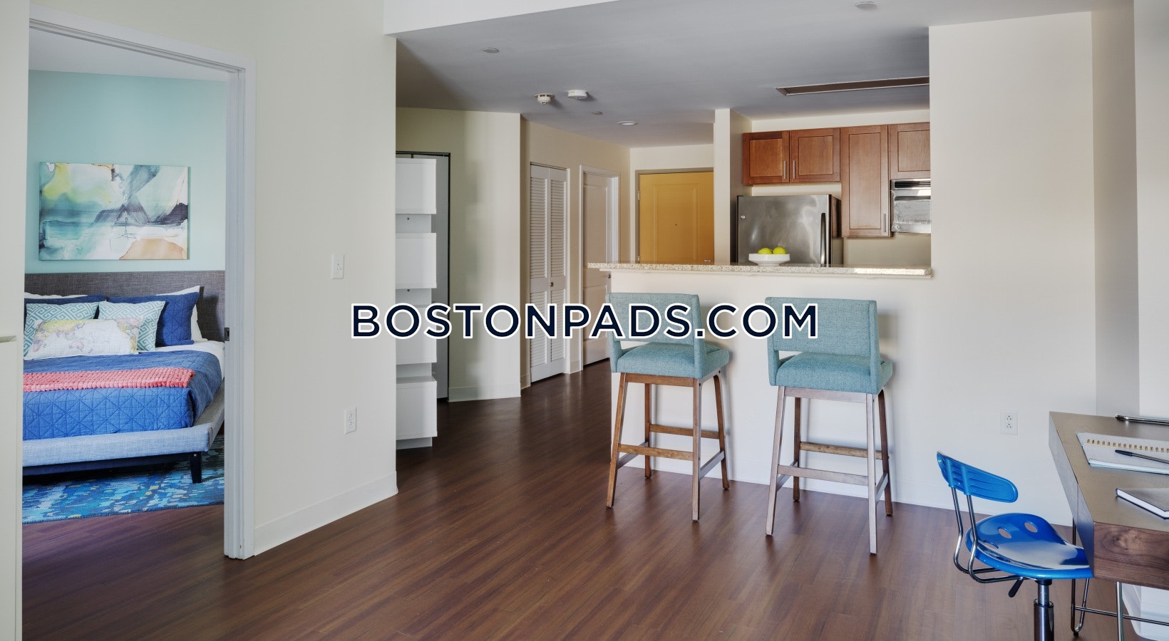
Apartment for Rent, Available 01-02-2026 at Coolidge Corner, Brookline, MA, added 3 days ago, $3,100 per month, 2 Beds, 1 Bath, , Heat & HW Included, Dishwasher, , , ,
Skip to Next Listing
Apartment for Rent, Available Now at Center - Dorchester, Boston, MA, added 13 hours ago, $2,500 per month, 2 Beds, 1 Bath, , , 1 Dishwasher, , , , Flexible Move-In Date
Skip to Next Listing
Apartment for Rent, Available Now at Blue Hill Avenue - Dorchester, Boston, MA, added 2 days ago, $2,600 per month, 2 Beds, 1 Bath, , , Dishwasher, , , , Flexible Move-In Date
Skip to Next ListingApartment for Rent, Available Now at Blue Hill Avenue - Dorchester, Boston, MA, added 2 days ago, $2,600 per month, 2 Beds, 1 Bath, , , Dishwasher, , , , Flexible Move-In Date
Skip to Next Listing
Apartment for Rent, Available Now at Grove Hall - Dorchester, Boston, MA, added 19 days ago, $2,600 per month, 2 Beds, 1 Bath, , , Dishwasher, , , , Flexible Move-In Date
Skip to Next Listing
Apartment for Rent, Available Now at 1943 Dot Ave, added Dorchester Luxury, $3,245 per month, 2 Beds, 1 Bath, , , 1 Dishwasher, Pet Friendly, Laundry, Air Conditioning, Flexible Move-In Date
Skip to Next Listing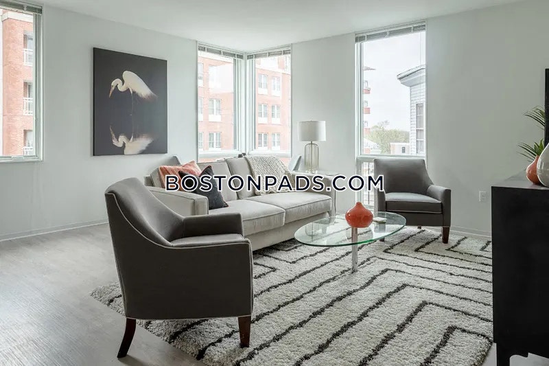
Apartment for Rent, Available Now at Savin Hill - Dorchester, Boston, MA, added 2 days ago, $3,150 per month, 2 Beds, 1 Bath, , Heat & HW Included, 1 Dishwasher, , Laundry, , Flexible Move-In Date
Skip to Next Listing
Apartment for Rent, Available Now at Schoolhouse at Lower Mills, added Dorchester Luxury, $3,000 per month, 2 Beds, 1 Bath, , , 1 Dishwasher, Pet Friendly, Laundry, Air Conditioning, Flexible Move-In Date
Skip to Next Listing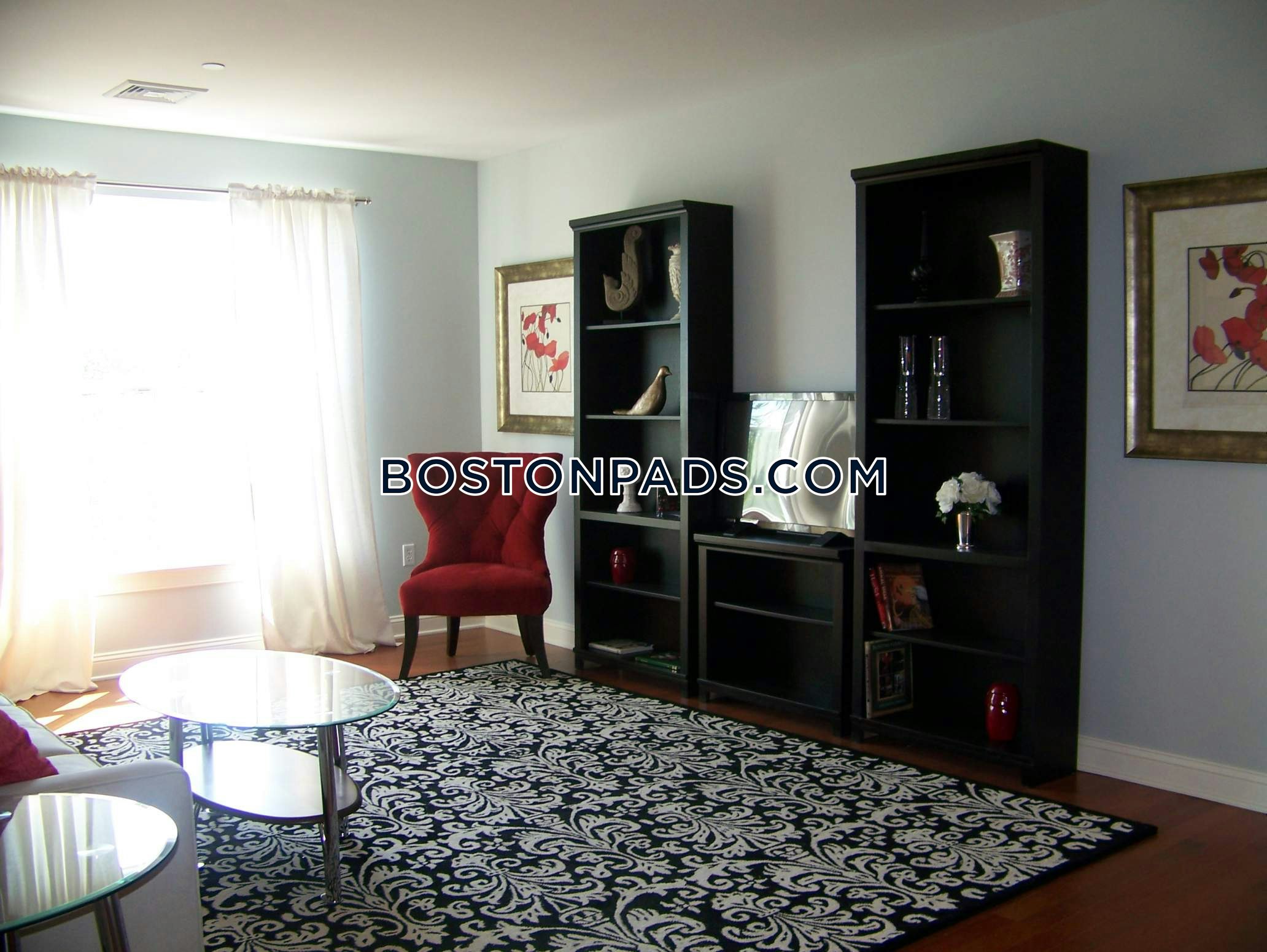
Apartment for Rent, Available Now at Schoolhouse at Lower Mills, added Dorchester Luxury, $2,800 per month, 2 Beds, 1 Bath, , , 1 Dishwasher, Pet Friendly, Laundry, Air Conditioning, Flexible Move-In Date
Skip to Next Listing