
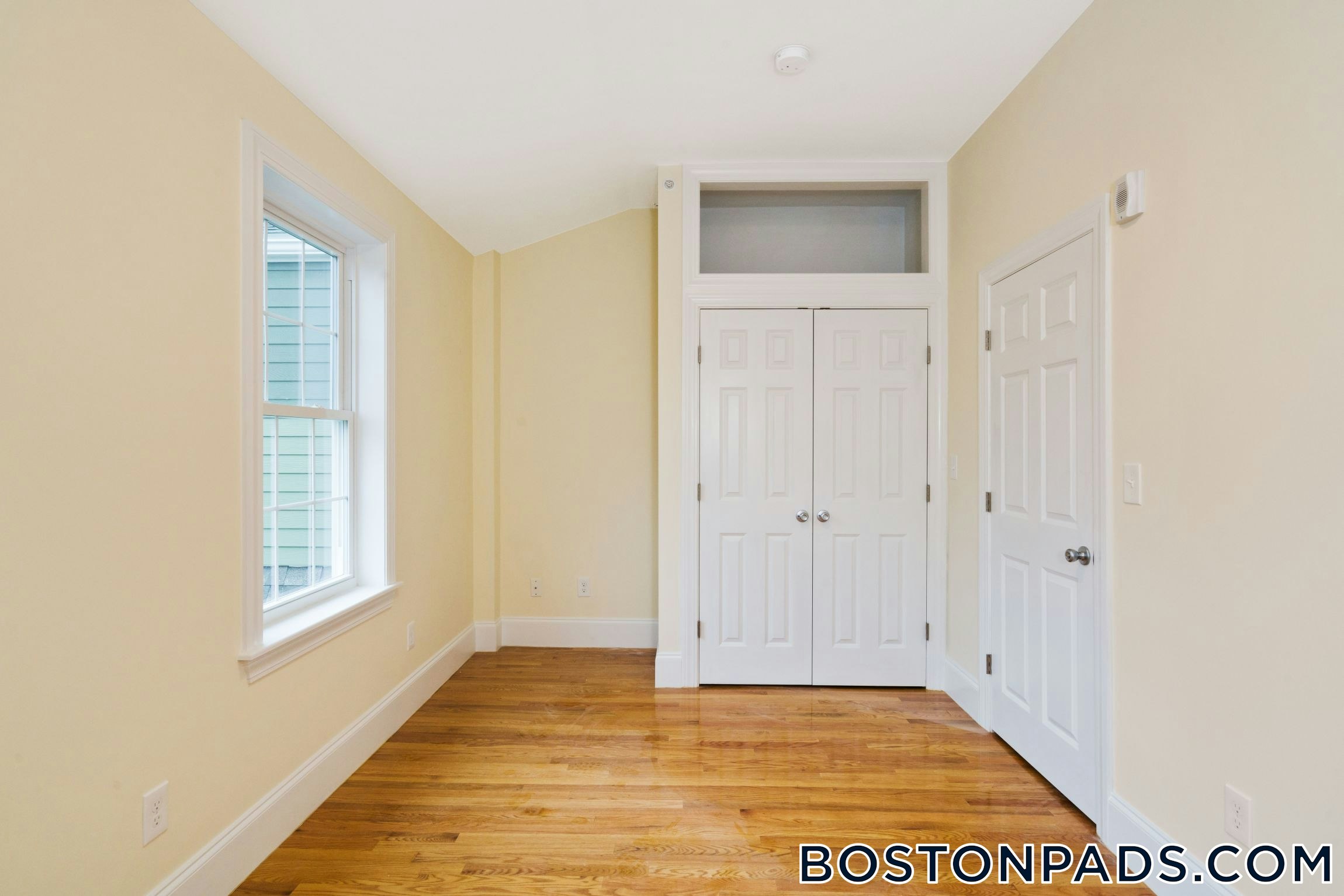
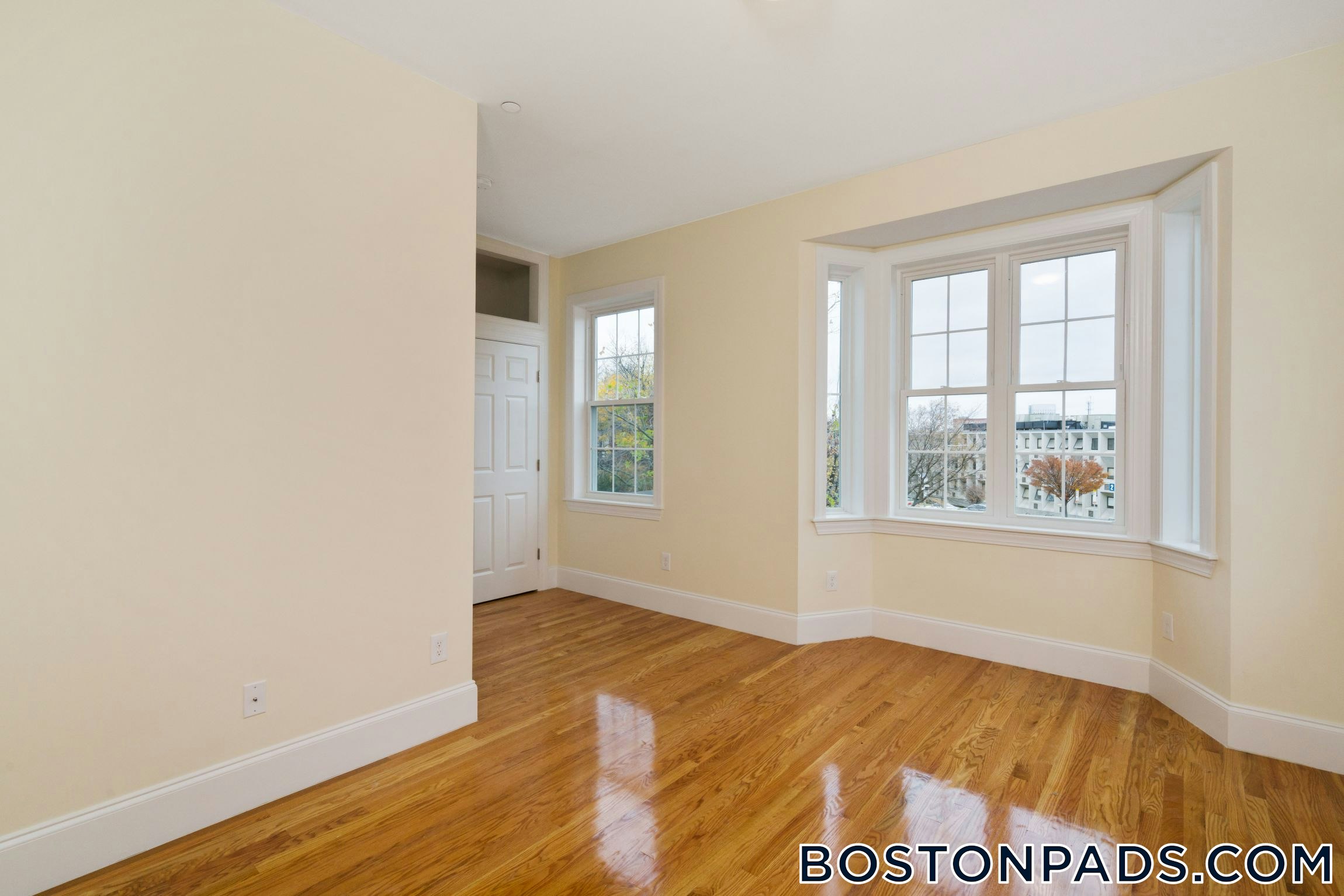
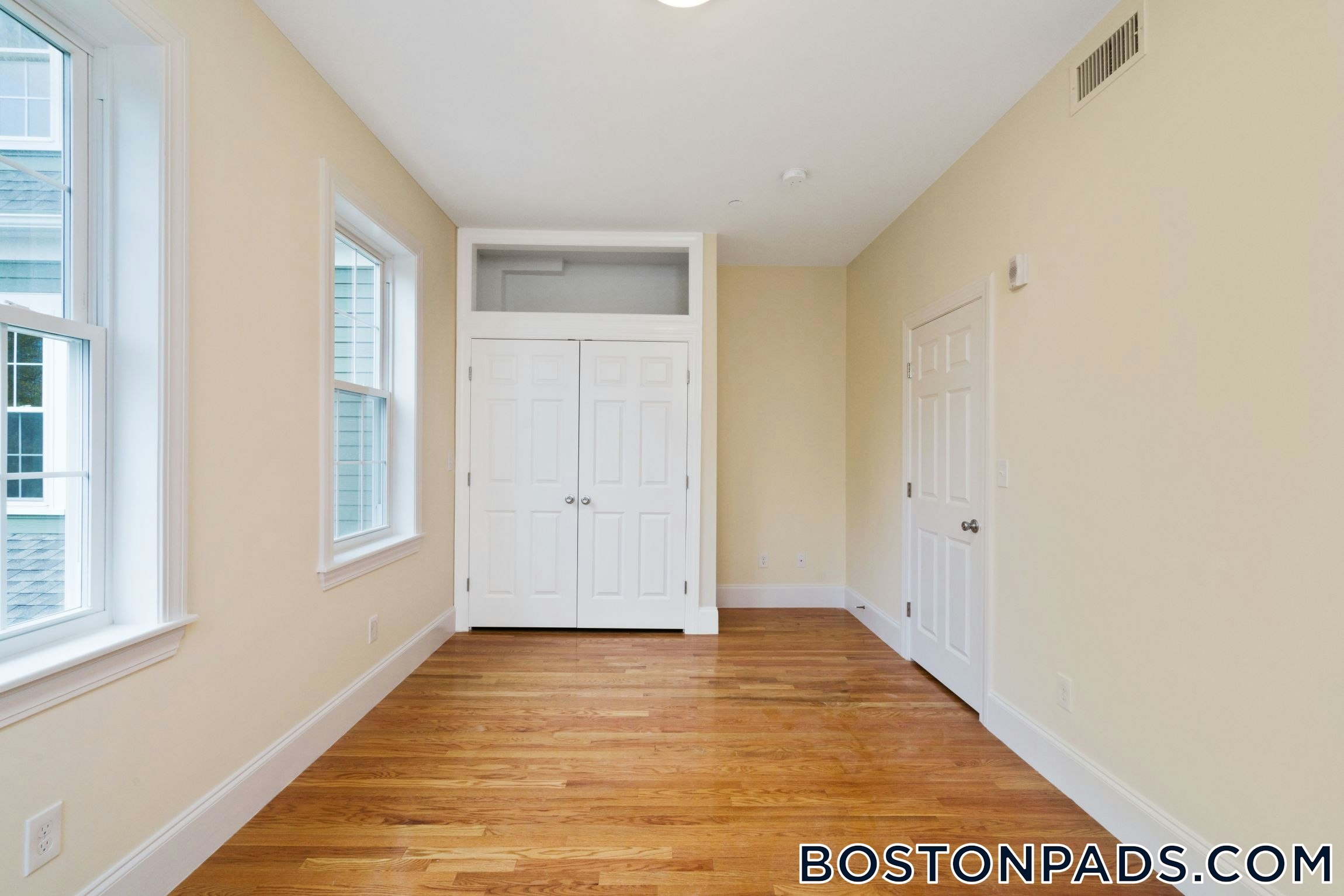
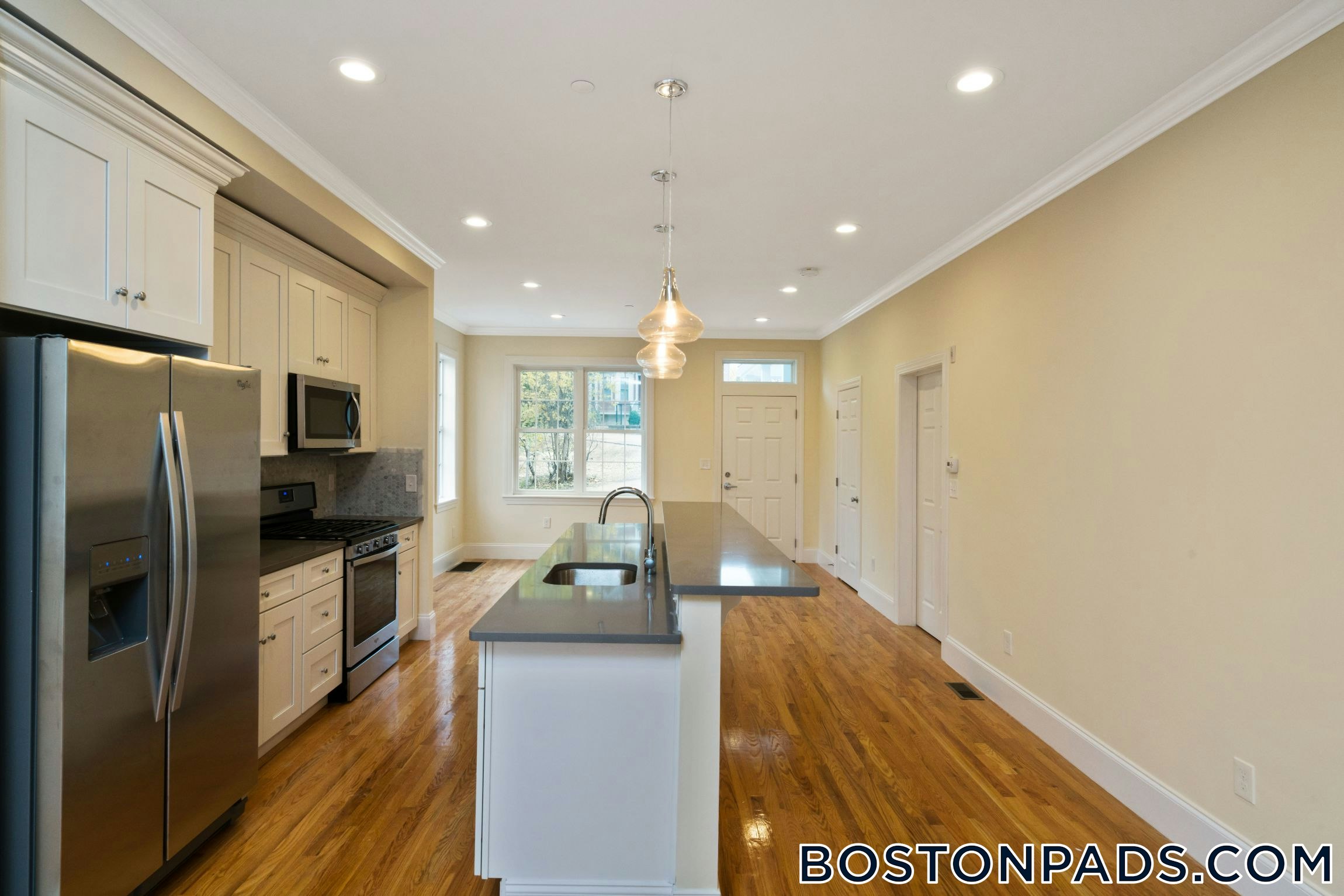
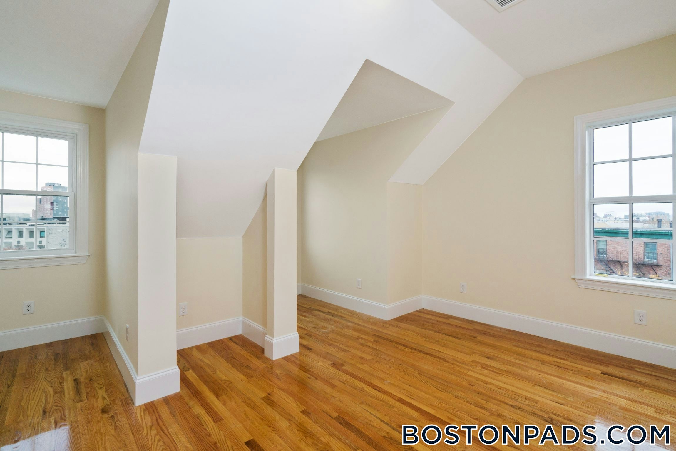
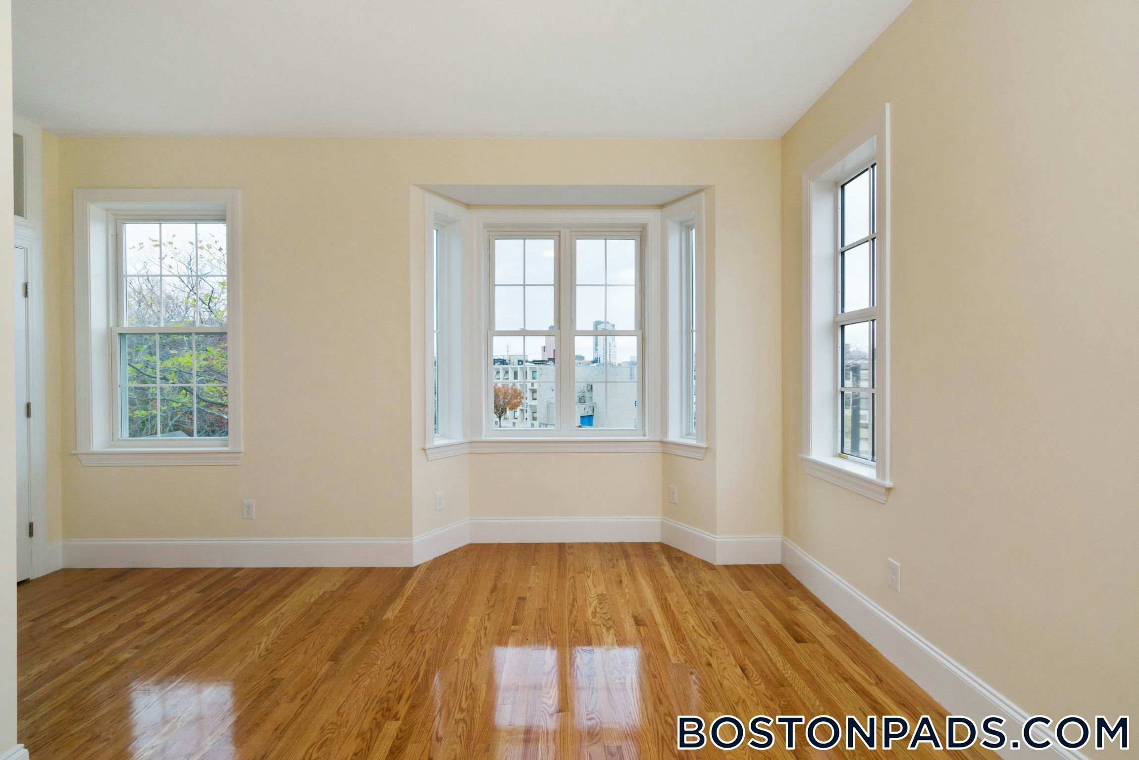
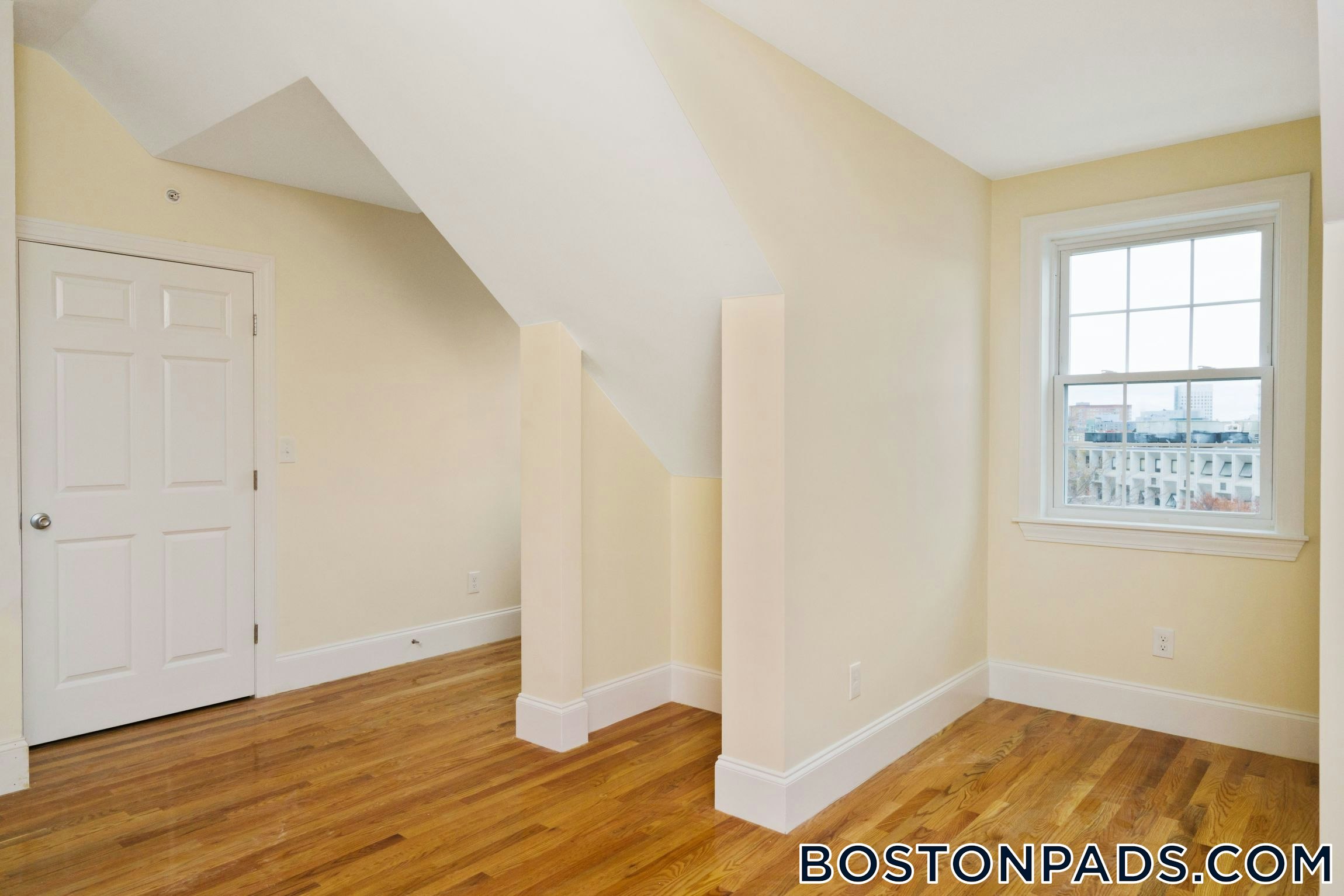
Property Description
MAY NO LONGER BE AVAILABLE
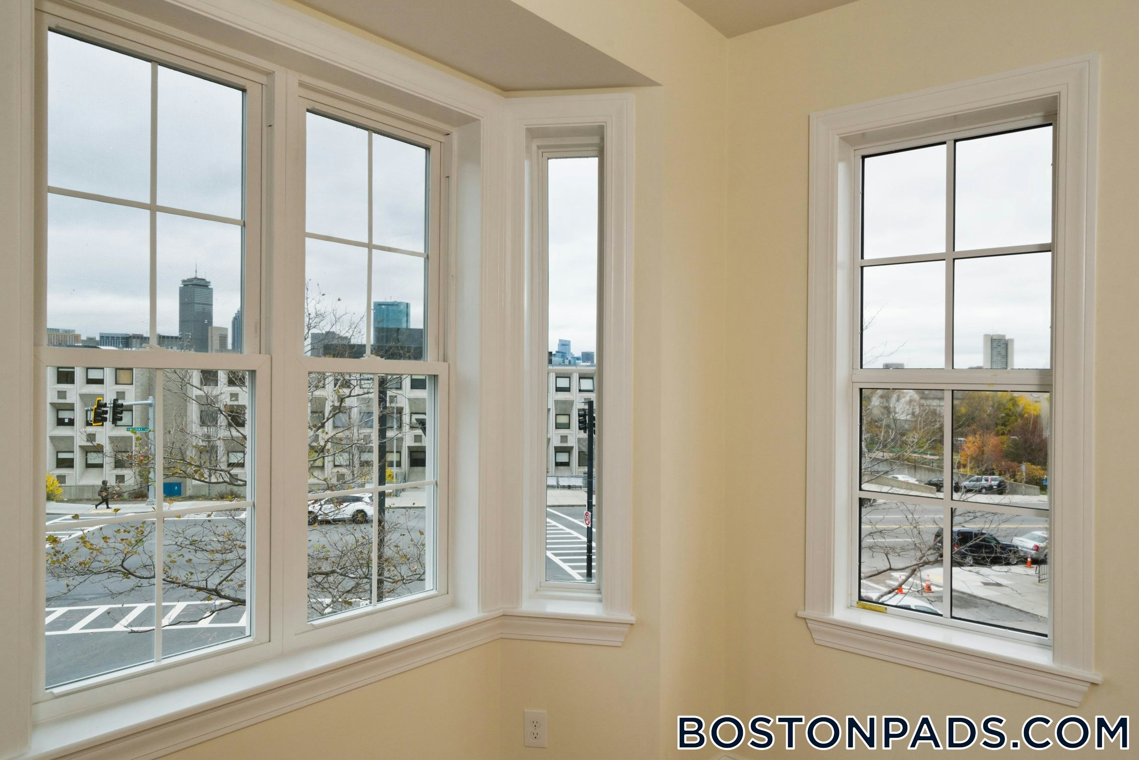
Strolling through Fort Hill it is easy to see why it was once an important location during the revolutionary war- its hills provided valuable vantage points for the soldiers stationed and housed there. Today, its heights provide a different advantage- some of the best views of the city of Boston. Fort Hill's landmark Cochituate Standpipe, a post revolutionary structure designed to hold water, was opened to the public in recent years and the climb up the structure unfolds beautiful and unique views of the city of Boston. Despite it's rolling landscape, or rather because of it, Fort Hill is easily accessible through various public transportation routes, and its very own Dudley Square MBTA station connects 15 different bus routes.
Transportation Options
42 Dudley St Bus Stop 0.1 mi (2 min away)
Malcolm X Blvd @ Madison Park HS Bus Stop 0.1 mi (2 min away)
Malcolm X Blvd @ O'Bryant HS Bus Stop 0.0 mi (1 min away)
Malcolm X Blvd opp Madison Park HS Bus Stop 0.1 mi (2 min away)
Malcolm X Blvd opp O'Bryant HS Bus Stop 0.0 mi (0 min away) Nearby Places
Arizona BBQ House of Pizza
Dudley Dough
Dunkin' Donuts
Regal Fried Chicken
Yummy Yummy Chinese Food
Map & Nearby Areas
O'Bryant School of Math & Science
Public Secondary School, Grades: 7-12
0.05mi
John D. O'Bryant School of Mathematics and Science
School
0.05mi
James P Timilty Middle School
Public School, Grades: 6-8
0.14mi
Madison Park Technical Vocational High School
Public Secondary School, Grades: 9-12
0.16mi
Madison Park Technical Vocational High School
Grades: 9-12
0.16mi
Roxbury Community College
University
0.17mi
Malik Academy
Private School, Grades: 1-5
0.25mi
Paige Academy
Private School, Grades: PK-6
0.26mi
Dudley Cafe
Coffee Shop & Sandwich (Cafe)
0.26mi
Arizona BBQ House of Pizza
Pizzeria
0.21mi
Yummy Yummy Chinese Food
Chinese (Fast Food)
0.22mi
Regal Fried Chicken
Chicken (Fast Food)
0.22mi
Dudley Dough
Pizzeria
0.22mi
Dunkin' Donuts
Donut & Coffee Shop
0.23mi
Cafe Crossing
Sandwich (Fast Food)
0.32mi
Domino's
Pizzeria
0.35mi
B-2 Boston Police Department
Police
0.19mi
Boston Police Department Headquarters
Local Police
0.27mi
Engine 14 and Ladder 4
Fire Station
0.32mi
Boston Fire Department Engine 37, Ladder 26
Fire Station
0.61mi
Dillaway-Thomas House
Museum
0.11mi
Hibernian Hall
Arts Centre
0.34mi
Reggie Lewis Athletic Center
Sports Centre. Sports: Running
0.21mi
Jim Rice Field at Ramsey Park
Sports Centre. Sports: Baseball
0.44mi
140 Highland St
Private Park
0.41mi
Roxbury Heritage State Park
Park
0.01mi
John Eliot Square
Park
0.11mi
Justice Edward O. Gourdin Veterans Memorial Park
Park
0.16mi
Jeep Jones Park
Municipal Park
0.16mi
Kitteridge Park
Municipal Park
0.19mi
Southwest Corridor Park
Park
0.27mi
Saint James Street Park
Park
0.28mi
Lambert Avenue Playground
Playground
0.22mi
Learn and Play Day Care and Preschool
Childcare
0.4mi
T&J Nails Design
Nail Salon
0.45mi
Elegance Salon
Beauty
0.46mi
Roxbury Branch of the Boston Public Library
Library
0.28mi
Roxbury Community College Learning Resources Center
Library
0.38mi
Daily Table
Supermarket
0.28mi
Tropical Foods
Supermarket
0.35mi
Ruggles Pizza & Cafe
Convenience
0.44mi
Peña's Market
Convenience
0.44mi
Malcolm X Blvd @ O'Bryant HS
0.02mi
Malcolm X Blvd opp O'Bryant HS
0.04mi
Malcolm X Blvd @ Madison Park HS
0.12mi
Malcolm X Blvd opp Madison Park HS
0.13mi
Malcolm X Blvd @ Shawmut Ave
0.13mi
Malcolm X Blvd @ Shawmut Ave
0.13mi
42A John Eliot Sq
0.13mi
205 Roxbury St
0.14mi
Nearby Areas
Rent Calculator & Affordability
Rent Calculator
How much do you (or your cosigner) earn each year before taxes?
Contact Agent

"*" indicates required fields
Explore Properties
Apartment for Rent, Available Now at Lower Allston, Boston, MA, added 6 days ago, $6,900 per month, 7 Beds, 2.5 Baths, , , 1 Dishwasher, , Laundry, Air Conditioning, Flexible Move-In Date
Skip to Next Listing
Apartment for Rent, Available 09-01-2026 at Mission Hill, Boston, MA, added 1 day ago, $7,200 per month, 4 Beds, 2 Baths, , HW Included, 1 Dishwasher, , Laundry, Air Conditioning,
Skip to Next Listing

Townhouse for Rent, Available 09-01-2026 at Northeastern/Symphony, Boston, MA, added 2 days ago, $7,200 per month, 4 Beds, 1 Bath, , HW Included, 1 Dishwasher, , Laundry, ,
Skip to Next Listing
Apartment for Rent, Available 09-01-2026 at Northeastern/Symphony, Boston, MA, added 2 days ago, $7,500 per month, 4 Beds, 2 Baths, , , 1 Dishwasher, , Laundry, Air Conditioning,
Skip to Next Listing
Apartment for Rent, Available 08-20-2026 at Chestnut Hill, Newton, MA, added 25 days ago, $7,800 per month, 6 Beds, 2 Baths, , , 1 Dishwasher, , Laundry, ,
Skip to Next Listing
Apartment for Rent, Available 09-01-2026 at Mission Hill, Boston, MA, added 1 hour ago, $10,200 per month, 6 Beds, 2.5 Baths, , , 1 Dishwasher, , Laundry, ,
Skip to Next Listing
Condo for Rent, Available 09-01-2026 at Fenway/Kenmore, Boston, MA, added 2 days ago, $7,800 per month, 4 Beds, 2 Baths, , Heat & HW Included, 1 Dishwasher, , Laundry, ,
Skip to Next Listing
Apartment for Rent, Available Now at Avalon Exeter, added Back Bay Luxury, $9,565 per month, 2 Beds, 2 Baths, , , 1 Dishwasher, Pet Friendly, Laundry, , Flexible Move-In Date
Skip to Next Listing
Apartment for Rent, Available 09-01-2026 at Mission Hill, Boston, MA, added 3 days ago, $10,200 per month, 6 Beds, 2 Baths, , , 1 Dishwasher, , Laundry, Air Conditioning,
Skip to Next Listing
Townhouse for Rent, Available 09-01-2026 at Northeastern/Symphony, Boston, MA, added 7 days ago, $7,100 per month, 4 Beds, 1 Bath, , , 1 Dishwasher, , Laundry, ,
Skip to Next Listing
Apartment for Rent, Available Now at Chestnut Hill, Newton, MA, added 2 days ago, $7,000 per month, 6 Beds, 2.5 Baths, , , Dishwasher, , Laundry, , Flexible Move-In Date
Skip to Next Listing
Apartment for Rent, Available Now at The Smith, added South End Luxury, $8,079 per month, 3 Beds, 2 Baths, , , 1 Dishwasher, Pet Friendly, Laundry, Air Conditioning, Flexible Move-In Date
Skip to Next Listing