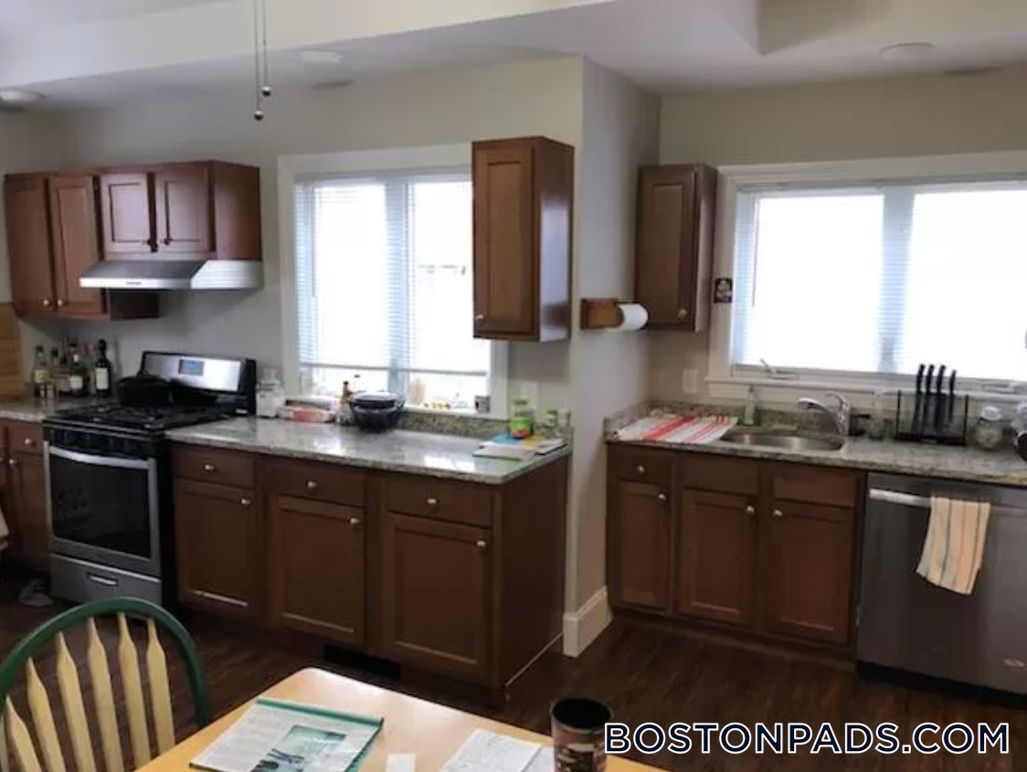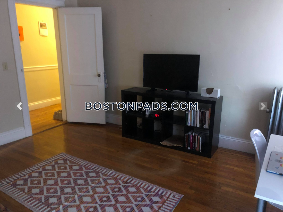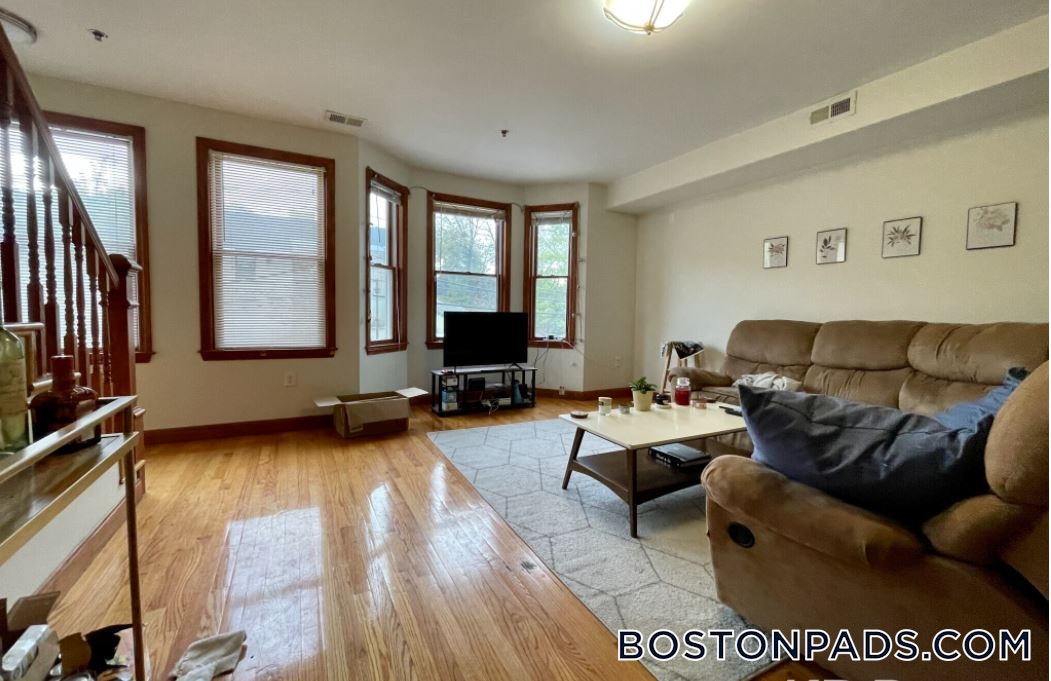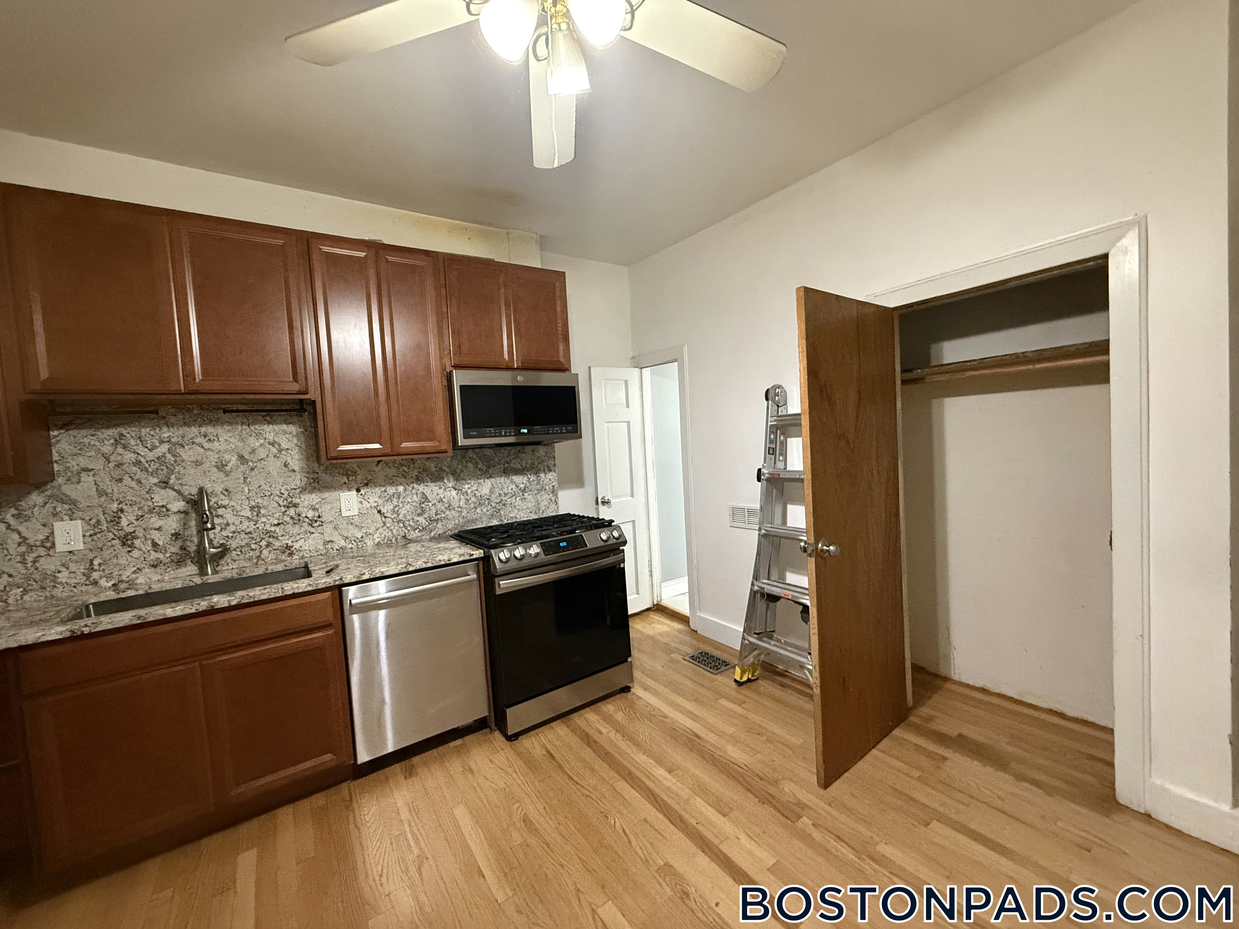

Contact Agent

"*" indicates required fields
Related Properties
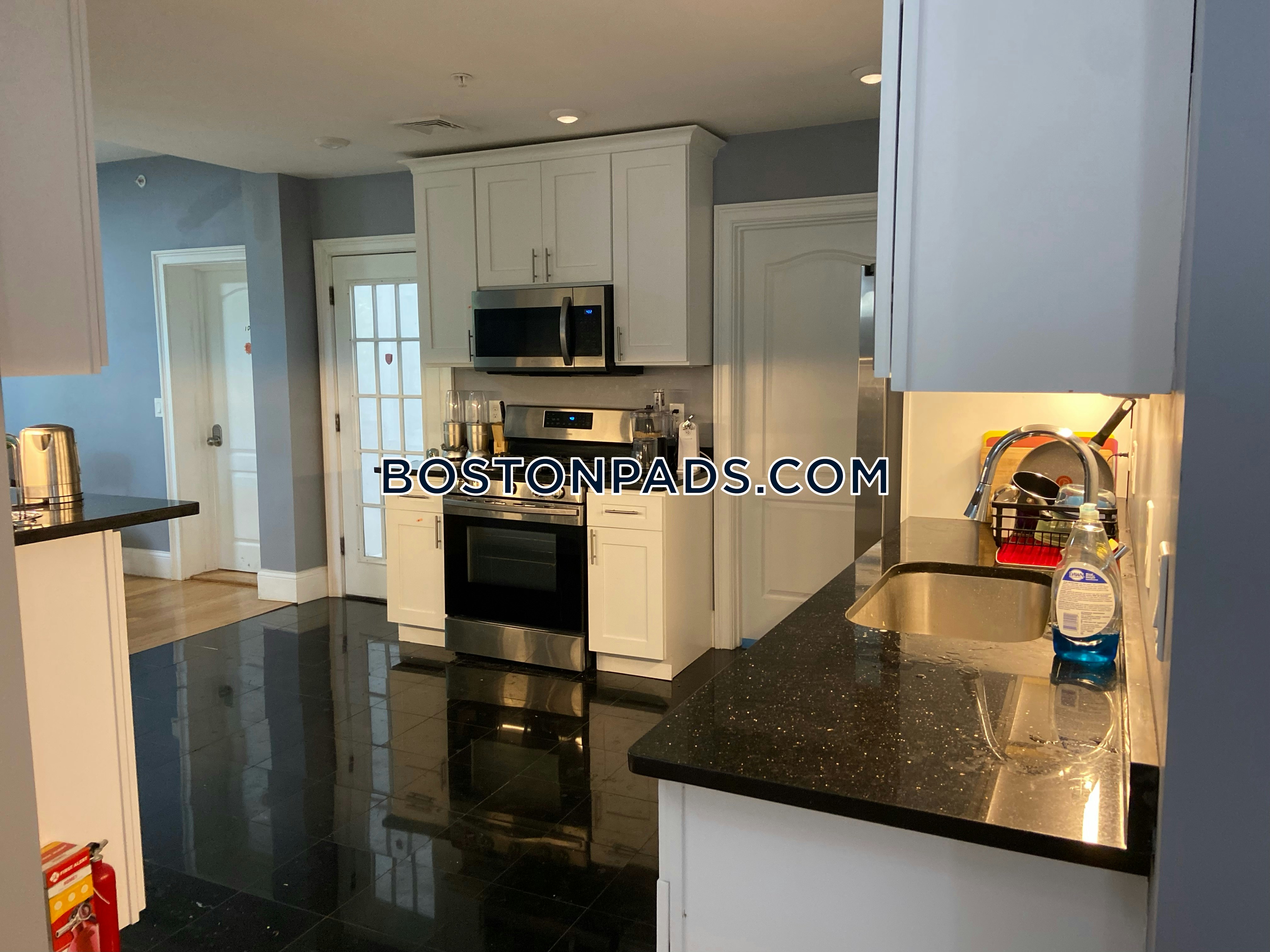
Condo for Rent, Available 09-01-2026 at Allston, Boston, MA, added 53 minutes ago, $6,400 per month, 4 Beds, 2 Baths, Furnished, Heat & HW Included, 1 Dishwasher, , Laundry, ,
Skip to Next ListingCondo for Rent, Available Now at Allston/Brighton Border, Boston, MA, added 6 days ago, $2,495 per month, 2 Beds, 1 Bath, , , 1 Dishwasher, Pet Friendly, Laundry, , Flexible Move-In Date
Skip to Next Listing
Apartment for Rent, Available 09-01-2026 at Allston, Boston, MA, added 53 minutes ago, $5,500 per month, 4 Beds, 2 Baths, , , Dishwasher, Cat Friendly, Laundry, ,
Skip to Next ListingApartment for Rent, Available Now at South End, Boston, MA, added 1 hour ago, $4,000 per month, 2 Beds, 1 Bath, , Heat & HW Included, 1 Dishwasher, , , , Flexible Move-In Date
Skip to Next ListingApartment for Rent, Available Now at Allston, Boston, MA, added 41 minutes ago, $2,850 per month, 3 Beds, 1.5 Baths, , , 1 Dishwasher, , Laundry, Air Conditioning, Flexible Move-In Date
Skip to Next Listing
Apartment for Rent, Available Now at Northeastern/Symphony, Boston, MA, added 1 hour ago, $2,995 per month, 2 Beds, 1 Bath, , Heat & HW Included, Dishwasher, , Laundry, , Flexible Move-In Date
Skip to Next Listing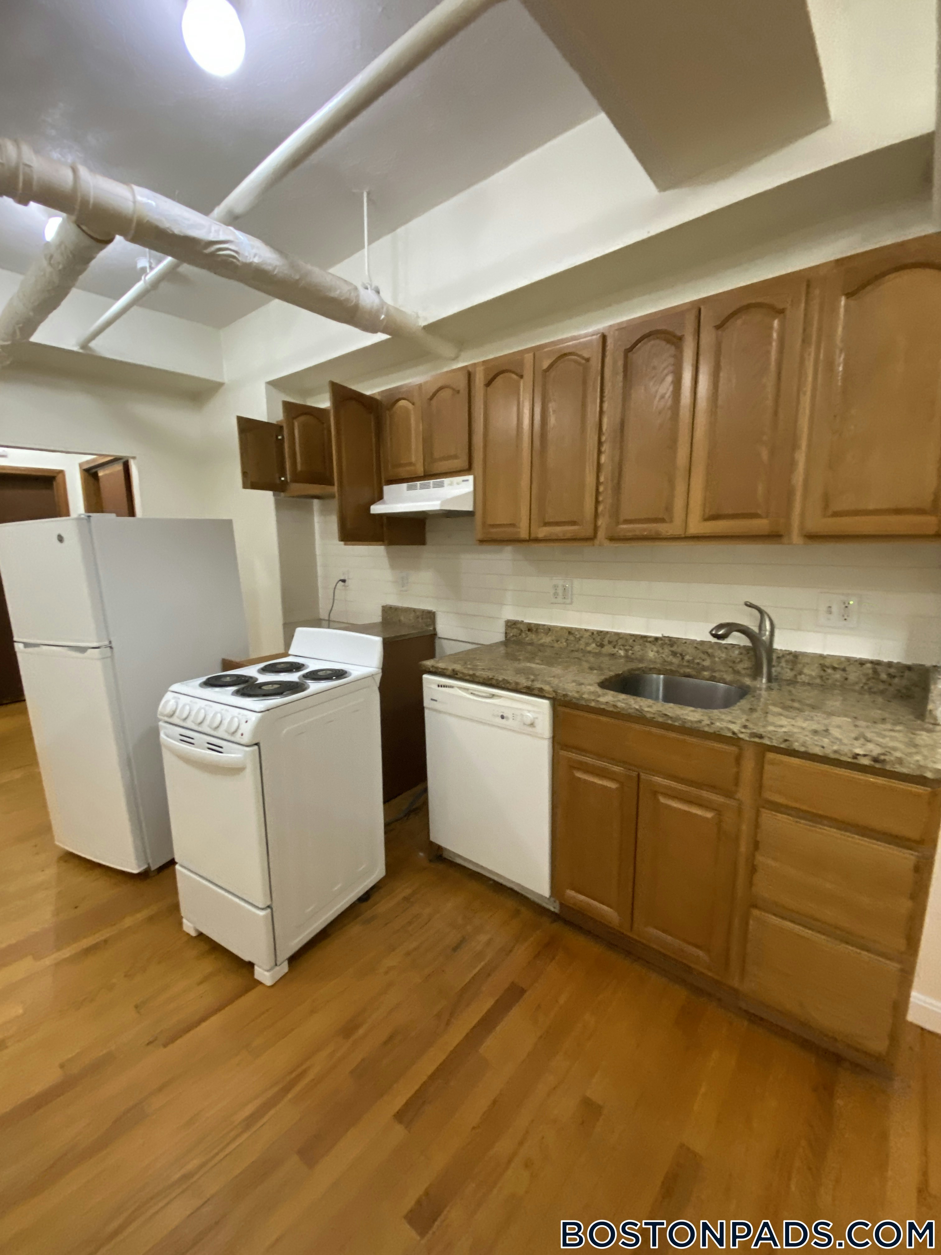
Apartment for Rent, Available 09-01-2026 at Mission Hill, Boston, MA, added 1 hour ago, $7,400 per month, 4 Beds, 1 Bath, Furnished, , 1 Dishwasher, , Laundry, ,
Skip to Next ListingApartment for Rent, Available Now at Northeastern/Symphony, Boston, MA, added 58 minutes ago, $2,750 per month, 2 Beds, 1 Bath, , Heat & HW Included, Dishwasher, , Laundry, , Flexible Move-In Date
Skip to Next Listing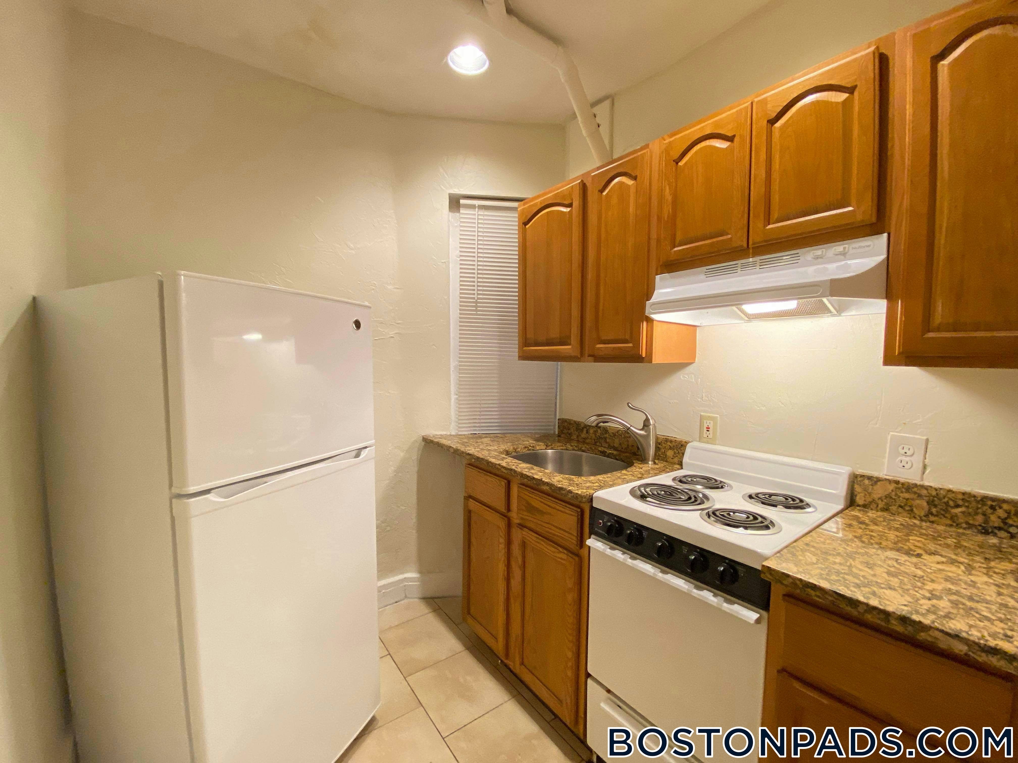
Apartment for Rent, Available Now at Beacon Hill, Boston, MA, added 10 days ago, $3,350 per month, 2 Beds, 1 Bath, , Heat & HW Included, 1 Dishwasher, , Laundry, , Flexible Move-In Date
Skip to Next Listing
Apartment for Rent, Available 06-01-2026 at Tufts, Somerville, MA, added 29 days ago, $6,500 per month, 5 Beds, 1.5 Baths, , , 1 Dishwasher, , Laundry, ,
Skip to Next ListingApartment for Rent, Available 09-01-2026 at Northeastern/Symphony, Boston, MA, added 1 hour ago, $6,900 per month, 4 Beds, 1.5 Baths, , Heat & HW Included, 1 Dishwasher, , Laundry, ,
Skip to Next ListingApartment for Rent, Available 09-01-2026 at Allston, Boston, MA, added 1 day ago, $3,450 per month, 2 Beds, 1 Bath, , Heat & HW Included, Dishwasher, , Laundry, ,
Skip to Next ListingApartment for Rent, Available 09-01-2026 at Allston, Boston, MA, added 52 minutes ago, $5,400 per month, 4 Beds, 2 Baths, , Heat & HW Included, 1 Dishwasher, Cat Friendly, Laundry, Air Conditioning,
Skip to Next ListingCondo for Rent, Available 09-01-2026 at Oak Square - Brighton, Boston, MA, added 1 hour ago, $2,250 per month, 1 Bed, 1 Bath, , Heat & HW Included, Dishwasher, , , ,
Skip to Next Listing

Townhouse for Rent, Available 09-01-2026 at Mission Hill, Boston, MA, added 1 hour ago, $4,550 per month, 3 Beds, 2 Baths, , , 1 Dishwasher, , , ,
Skip to Next ListingApartment for Rent, Available 01-02-2026 at Davis Square, Cambridge, MA, added 15 days ago, $2,050 per month, Studio, 1 Bath, , , Dishwasher, , , ,
Skip to Next Listing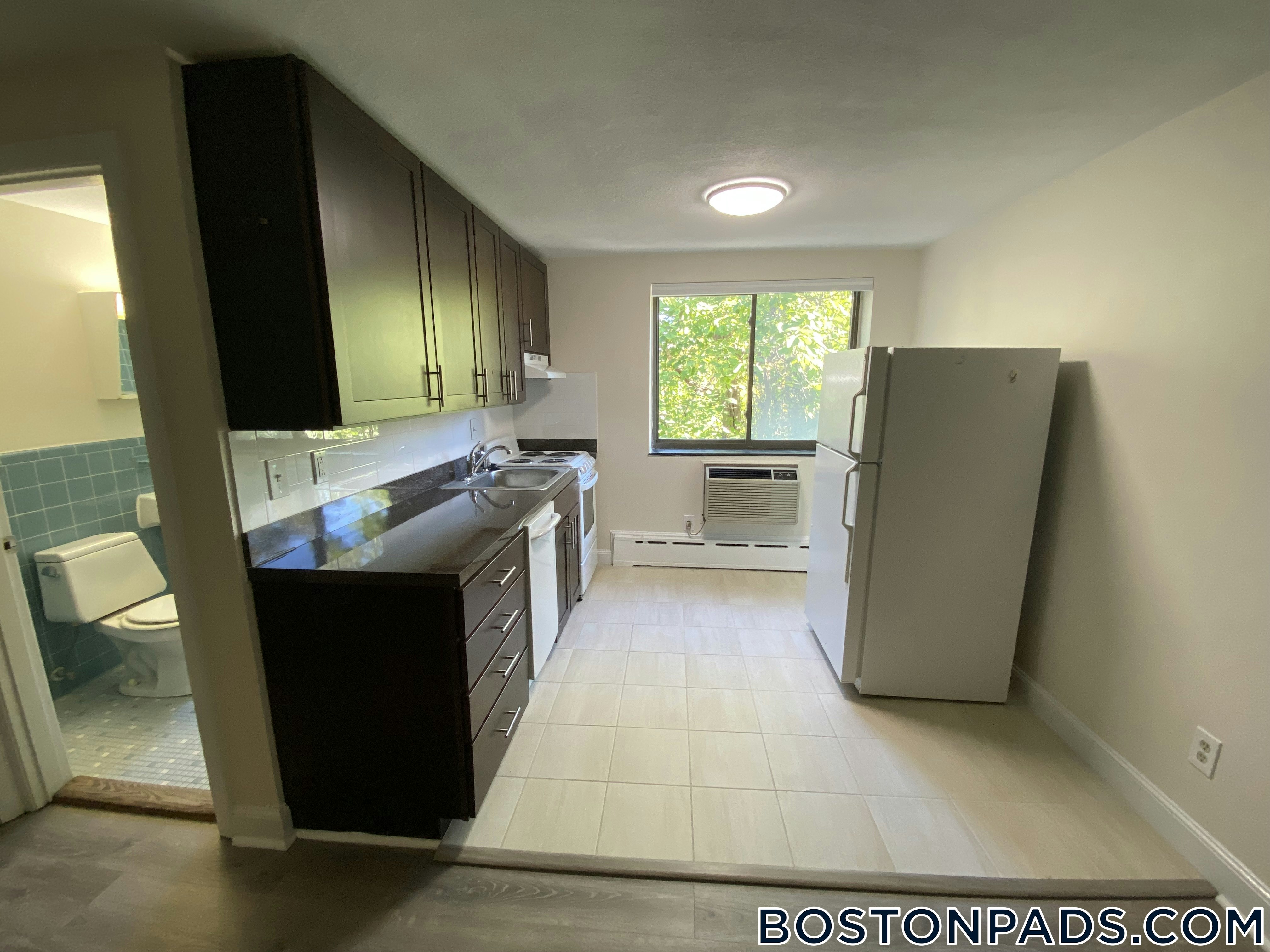
Apartment for Rent, Available 08-15-2026 at Cleveland Circle - Brighton, Boston, MA, added 1 hour ago, $12,800 per month, 8 Beds, 6 Baths, , , 1 Dishwasher, , , ,
Skip to Next ListingApartment for Rent, Available 09-01-2026 at Allston, Boston, MA, added 1 hour ago, $5,700 per month, 5 Beds, 1 Bath, , , 1 Dishwasher, , , ,
Skip to Next ListingCondo for Rent, Available Now at Jamaica Pond/Pondside - Jamaica Plain, Boston, MA, added 36 minutes ago, $2,800 per month, 2 Beds, 1 Bath, , HW Included, Dishwasher, , Laundry, Air Conditioning, Flexible Move-In Date
Skip to Next Listing
Apartment for Rent, Available 06-01-2026 at Tufts, Medford, MA, added 22 days ago, $4,800 per month, 4 Beds, 1 Bath, , , 1 Dishwasher, Cat Friendly, Laundry, Air Conditioning,
Skip to Next Listing


