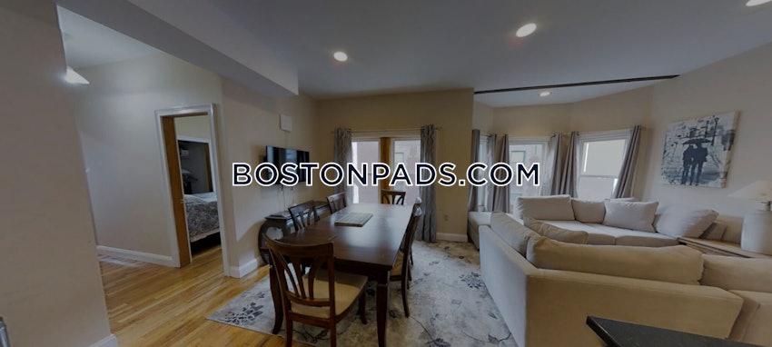
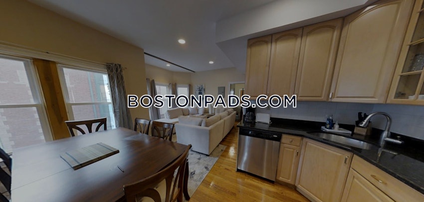
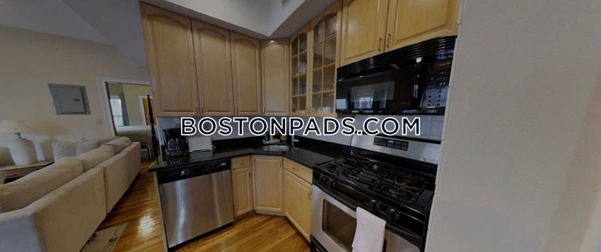
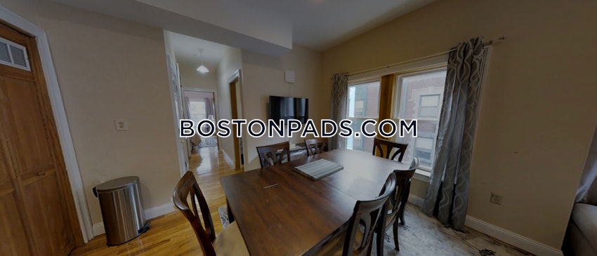
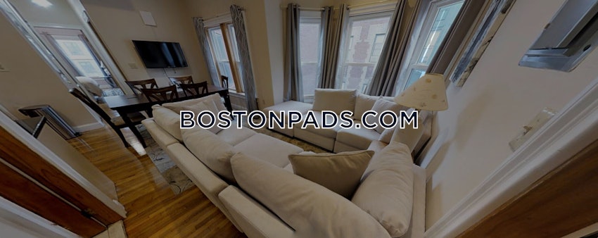
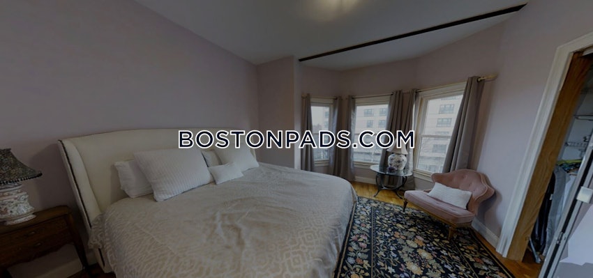
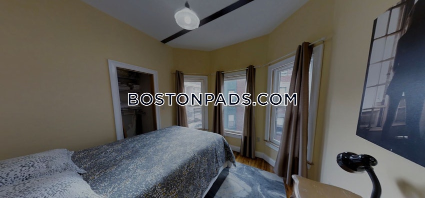
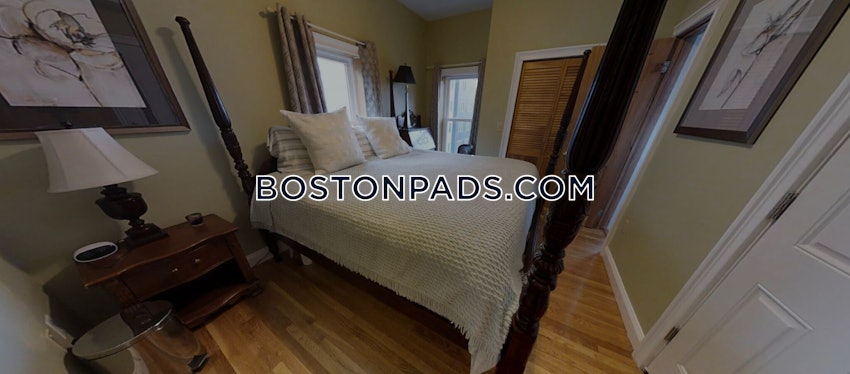
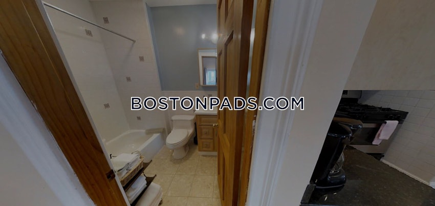
Property Description
Map & Nearby Areas
Northeastern University
University
0.01mi
Northeastern University
University
0.13mi
Nativity Preparatory School
School
0.16mi
Roxbury Head Start
Grades: PK-K
0.17mi
Carter Developmental Day Care
Public School, Grades: 9-12
0.27mi
Wentworth Institute of Technology
University
0.38mi
Hurley K-8 School
Public Elementary School, Grades: PK-8
0.41mi
John D. O'Bryant School of Mathematics and Science
School
0.42mi
Caffé Strega
Cafe
0.1mi
Starbucks
Coffee Shop
0.18mi
Argo Tea
Cafe
0.19mi
Pavement Coffeehouse
Coffee Shop
0.35mi
Tatte
Bakery & Coffee Shop
0.35mi
Gong Cha
Bubble Tea (Cafe)
0.35mi
Render Coffee
Coffee Shop & Sandwich (Cafe)
0.36mi
Farmer Horse Coffee
Cafe
0.37mi
Boston Police Department Headquarters
Local Police
0.28mi
B-2 Boston Police Department
Police
0.56mi
Boston Fire Department Engine 22
Fire Station
0.48mi
Boston Fire Department Engine 37, Ladder 26
Fire Station
0.55mi
Engine 14 and Ladder 4
Fire Station
0.56mi
Boston Medical Center
Hospital
0.53mi
Commonwealth Community Care
Hospital
0.55mi
Museum of Fine Arts
Museum
0.42mi
Matthews Arena
Stadium. Sports: Basketball, Ice Hockey
0.28mi
Piano Craft Gallery
Gallery
0.22mi
Art of Ancient Greece and Rome
Gallery
0.44mi
Raytheon Amphitheater
Theatre
0.19mi
Brown Hall
Theatre
0.27mi
Keller Room
Theatre
0.28mi
Williams Hall
Theatre
0.28mi
Roger M. and Michelle S. Marino Recreation Center
Fitness Centre
0.33mi
Badger & Rosen SquashBusters Center
Sports Centre
0.08mi
Jim Rice Field at Ramsey Park
Sports Centre. Sports: Baseball
0.24mi
Barletta Natatorium
Sports Centre. Sports: Swimming
0.24mi
YMCA
Sports Centre
0.25mi
Cabot Physical Education Center
Sports Centre
0.27mi
Sweeney Athletic Field
Sports Centre. Sports: Soccer, Baseball
0.41mi
Southwest Corridor Park
State Park
0.06mi
Carter Playground
Municipal Park
0.08mi
Douglas Courtyard
Park
0.16mi
Southwest Corridor Park
State Park
0.19mi
Southwest Corridor Park
State Park
0.22mi
Ramsay Park
Municipal Park
0.24mi
Krentzman Quadrangle
Park
0.26mi
Southwest Corridor Park
State Park
0.27mi
Worcester St. Playground
Playground
0.41mi
Snell Library
Library
0.15mi
The Boston Globe Library
Library
0.16mi
Wayne S. Wright Community Resource Cent
Library
0.19mi
New England Conservatory of Music Performance Library
Library
0.27mi
Isabelle Firestone Audio Library
Library
0.27mi
Harriet M. Spaulding Library
Library
0.32mi
Northeastern University School of Law Library
Library
0.33mi
William Morris Hunt Memorial Library
Library
0.45mi
restoration resources
Furniture
0.35mi
Tropical Foods
Supermarket
0.27mi
Wollaston's Market
Supermarket
0.35mi
Wollaston's Market
Supermarket
0.37mi
Daily Table
Supermarket
0.41mi
Peña's Market
Convenience
0.04mi
Quick Pick
Convenience
0.08mi
Ruggles Pizza & Cafe
Convenience
0.19mi
Tremont St @ Burke St
0.03mi
Tremont St @ Hammond St
0.07mi
Tremont St @ Columbus Ave
0.11mi
Tremont St @ Melnea Cass Blvd
0.11mi
Tremont St @ Douglas Pk
0.13mi
Tremont St @ Lenox St
0.14mi
Melnea Cass Blvd opp Kerr Way
0.15mi
Ruggles
0.19mi
Nearby Areas
Rent Calculator & Affordability
Rent Calculator
How much do you (or your cosigner) earn each year before taxes?


